People & Places
How do maps show mountains?
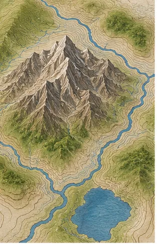
Maps use colours, lines and symbols to show height. Some maps use contour lines that wrap around hills and mountains.
People & Places
Maps use colours, lines and symbols to show height. Some maps use contour lines that wrap around hills and mountains.