People & Places
Why do maps use symbols?
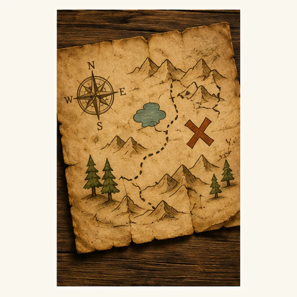
Because tiny symbols are quicker to read than long labels. Maps use small pictures, colours and shapes to stand for real things like roads, rivers, parks and stations.
People & Places
Because tiny symbols are quicker to read than long labels. Maps use small pictures, colours and shapes to stand for real things like roads, rivers, parks and stations.